
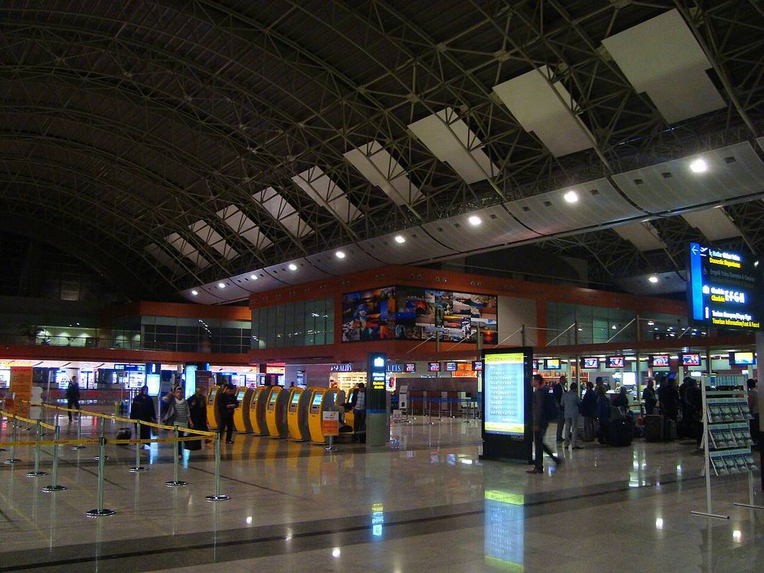
Getting from SAW into town
A private transfer is booked before you fly and the driver waits at arrivals with your name, which is the difference that matters after a long flight: no taxi queue, no fare haggling in a language you do not speak, and a price agreed before you land.
Background on the airport itself: Wikipedia.
How far the towns are
Straight-line distance from SAW, computed from published coordinates. Road distance is longer, and how much longer depends on the terrain between the two points. Population is from GeoNames.
Transfers from SAW — questions
Where does the driver meet me?
At arrivals, with your name on a sign, after your flight number has been checked. That is the part a taxi rank cannot do: the driver already knows when you actually land.
What if my flight is late?
The booking carries your flight number, so the pickup moves with it. Waiting time rules are the partner's own and appear on their page.
Why is no fare shown here?
Because we do not set it and do not measure it. Fares change by the hour and by the vehicle; you see the current one on the partner's page, before you commit.
Is the distance on this page the road distance?
No. It is straight-line distance from published airport and town coordinates, which is a consistent number we can actually compute. Road distance is always longer.